Before You Buy Rural Land Near Clarksville, Here’s What Elevation Changes Can Tell You
Rural land near Clarksville looks different depending on when you visit and how long you look. A property tour on a dry afternoon can feel wide open and full of possibility. But walk the same land after rain, or try to find where a driveway could realistically go, and the picture changes fast. Elevation changes are one of the most useful things a buyer can understand before closing on a rural property.
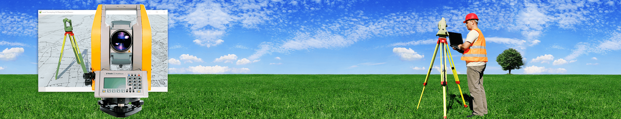
How LiDAR Mapping Reveals Terrain Features Hidden by Vegetation
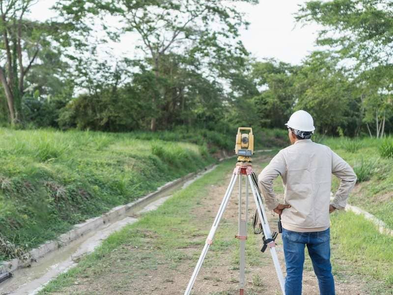
A lot of rural land near Clarksville carries heavy tree cover, thick brush, and overgrown fields. These features make a property feel private and scenic during a tour. They also hide the ground underneath.
LiDAR mapping uses laser pulses sent from airbuild to measure the surface below, even through dense vegetation. The data comes back as a detailed picture of the actual ground, not the canopy on top of it. Slopes, ridges, gullies, shallow depressions, and drainage paths that you can’t see from the road show up clearly in the elevation model.
This matters when you’re evaluating a wooded tract. A hillside that looks like usable land from the road might reveal a 30-foot drop within the first hundred yards. You only see that once the vegetation layer is stripped away. A flat-looking field might actually roll and dip in ways that affect what you can build and where.
Walking the land is useful. Elevation data from a LiDAR model gives detail that a site visit alone can’t match on heavily wooded acreage.
Identifying Buildable Areas on Rural Properties Before You Buy
Acreage numbers on a listing don’t tell you how much of that land you can actually use. A 50-acre tract near Clarksville might offer 30 acres of workable ground. The rest could be steep terrain, creek beds, and rough slopes. Those rough acres limit what you can build.
Elevation data helps separate usable land from total acreage. Buyers can identify where flatter ground sits and how large those sections are. They can also see whether that ground connects to the road in a usable way.
This matters most for buyers planning to build a home, put up a barn, or add a workshop. The site needs to be flat enough to build on and large enough to fit the structure with proper setbacks. It also can’t require extreme grading just to prepare the pad.
A property with great acreage can still fall short. If the usable ground is cut off by terrain or too far from the road, building costs climb fast. Elevation data reveals that before the purchase, not after.
Understanding Access Challenges Caused by Elevation Changes
Getting onto a rural property sounds simple until the grade of the land makes it complicated. Steep terrain between the road and a building site can push driveway costs well above what a buyer expects.
Most residential driveways work within a grade of around 10 to 15 percent. Go much steeper than that and you’re looking at grading work, retaining structures, or a longer route to get around the slope. On rural properties with significant elevation changes, the driveway problem can become a major part of the total development budget.
The same issue shows up with equipment access. A buyer planning to farm or hunt needs to know whether tractors, ATVs, or trailers can move through the terrain at all. Areas that look passable on a map can turn out to have grades that make regular access difficult.
A lot of buyers walk the road frontage during a showing and assume the rest will work itself out. Elevation data shows where those grade transitions actually fall, so the access question gets answered before the contract is signed.
Using Elevation Data to Evaluate Future Development Potential
Some buyers purchase rural land with a longer timeline in mind. They might live on part of it now and subdivide later. Or hold it for farming while keeping the option to add structures down the road.
Elevation data plays a real role in those longer-term decisions. A tract that looks like it could split into smaller parcels might have terrain that makes road access to each one costly. Knowing that before purchase helps a buyer set realistic expectations for what the land can support.
Agricultural use has its own terrain considerations. Fields that look flat in photos might roll and dip in ways that affect what crops grow and how equipment moves. The USDA Natural Resources Conservation Service lists slope as a top factor in land suitability. Steeper grades push land from row crops toward pasture, or light grazing only.
Recreational use like hunting or hiking trails runs into similar terrain questions. Where ridges and hollows fall, where water sits, and how the property drains all affect what the land can actually support.
Spotting Natural Drainage Patterns Before They Become Ownership Problems
Water follows the low points in any terrain. On rural land, those low points are defined by the terrain. Elevation changes show where water collects, where it moves during rain, and which parts of the property stay wet longest.
This isn’t about designing drainage systems. It’s about knowing what you’re buying. A low area that looks flat in a listing photo might sit underwater for weeks after heavy rain. A shallow hollow tucked into a wooded corner might carry a seasonal stream that limits how that ground can be used.
The Tennessee Valley Authority notes that terrain-related flooding and seasonal saturation are common issues on rural properties in the Clarksville region. Rolling topography and variable soil types make drainage conditions hard to predict.
Buyers who check elevation data before closing can spot these zones and decide if the drainage picture fits their plans. That’s information worth having before the deed changes hands, not after.
Frequently Asked Questions
Why is elevation important when buying rural land?
Elevation affects where you can build, how you’ll access the property, where water moves after rain, and what the land can realistically support long-term. Two properties with the same acreage can be very different once you understand how the terrain sits.
How does LiDAR mapping help evaluate rural property?
LiDAR mapping creates detailed elevation models that show slopes, ridges, low areas, and drainage paths beneath vegetation. It reveals ground conditions that a standard site visit doesn’t capture, especially on heavily wooded tracts.
Can LiDAR mapping identify buildable areas on a property?
Yes. Elevation data shows where flatter, more accessible ground exists on a property and how much of it connects to road frontage in a usable way. That helps buyers understand how much of the acreage can actually support structures or improvements.
Does vegetation make it difficult to evaluate rural land?
Yes, frequently. Dense trees and brush hide slopes, depressions, and drainage paths that matter when planning for access or construction. LiDAR data cuts through that by mapping the ground surface directly, not the vegetation layer above it.
When should a buyer consider LiDAR mapping before purchasing land?
During the due diligence period, before closing. It’s most useful on larger wooded tracts or properties with varied terrain where a site visit alone won’t reveal how the ground actually lays.