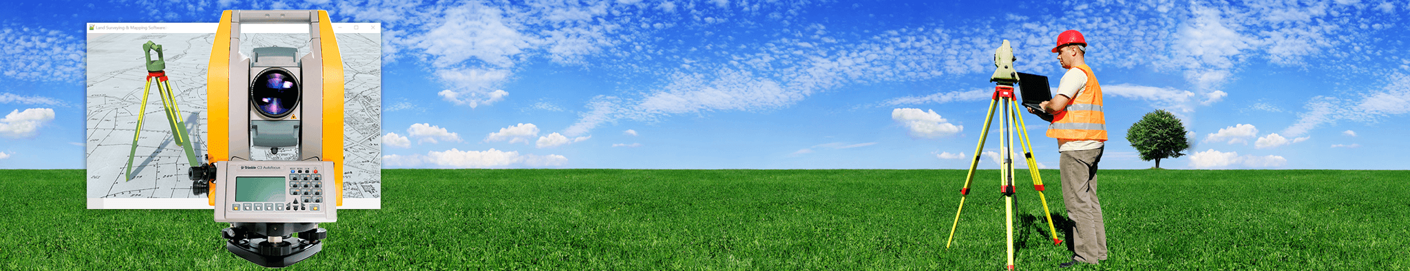
How LiDAR Mapping Is Improving Flood Risk Detection in Modern Land Surveying
Floods damage homes, wash out roads, and hurt communities every single year. Most old flood maps use rough estimates that miss small but important details about how land slopes. People often build or prepare based on these outdated files, so … Continue reading →