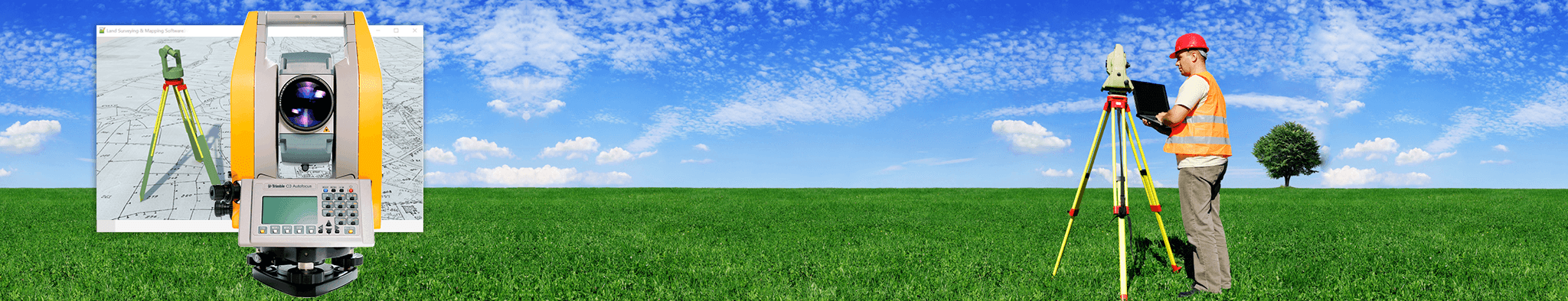
The Role of LiDAR Mapping in Reducing Construction Errors Before Breaking Ground
Construction projects often run over budget or fall behind schedule because of simple mistakes made early on. Teams might design a building based on old maps that don’t match the actual land. They could miss hidden bumps in the ground or forget about old pipes buried just below the surface. LiDAR mapping solves these problems by creating clear and accurate pictures of a site before anyone moves dirt or pours concrete. This technology uses laser pulses to measure distances quickly and with great precision, so teams know exactly what they are working with from day one. When builders start with correct information, they avoid costly fixes and wasted work later in the project.
Pre-Construction Reality Checks Using LiDAR-Based Site Modeling
Most design teams start with blueprints or public land records that may be years out of date. These documents show how a site used to look, not how it sits right now. LiDAR mapping creates a full 3D model of the actual ground, trees, rocks and existing structures in just a few days. Teams can overlay their early design plans on top of this real-world model to spot mismatches right away. A foundation drawn for flat ground might sit right over a steep slope that no one noticed on paper. A planned parking lot could end up covering a drainage ditch that was never marked on old files. Catching these gaps early means teams adjust designs before buying materials or hiring crews, so they don’t waste time building something that won’t fit.
This step also stops teams from guessing how much dirt they need to move or where to place heavy equipment. Every bump and hollow shows up clearly on the 3D model, so calculations stay close to reality. Many projects waste tens of thousands of dollars on extra soil removal or unexpected retaining walls because no one checked the site properly. LiDAR models remove that guesswork entirely, so cost estimates match what the site actually requires.
Detecting Physical Site Conflicts Before Mobilization
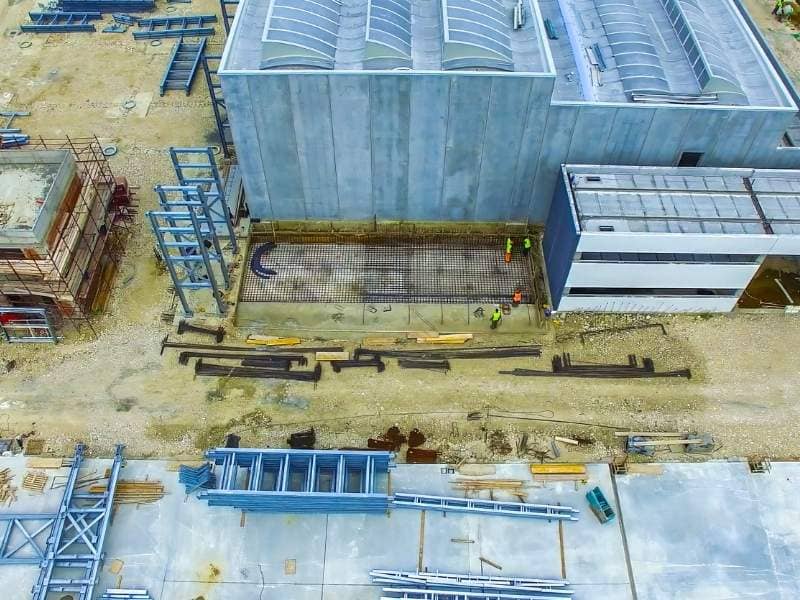
Some site issues stay hidden until crews start digging, and that is usually too late. LiDAR mapping picks up details that even experienced surveyors might miss on a walkthrough. It shows small but steep drops in the land that could make a foundation unstable. It counts thick tree roots or dense brush that would block access for trucks and cranes. It also reveals old foundations, buried tanks or leftover utility lines that sit just below the grass. These obstacles can break equipment or delay work for weeks if builders don’t know they exist.
When teams identify these conflicts early, they can plan around them or schedule extra time to clear them out. They can mark which trees need protection and which ones must come down before work begins. They can also check how sunlight hits the land at different times of year to make sure new buildings won’t block light for neighbors or solar panels. All these checks happen before anyone brings tools or materials to the site, so no one gets stuck scrambling for solutions in the middle of construction.
Aligning LiDAR Point Clouds With BIM and CAD Design Systems
LiDAR data comes in a format called a point cloud, which is a huge set of 3D dots that map every surface on the site. This data works directly with the BIM and CAD software that most architects and engineers use to draw their plans. Teams pull the exact site measurements into their design programs so every line they draw matches the real world. They don’t have to type in numbers by hand or copy measurements from paper notes, which cuts down on typing errors and wrong calculations.
For example, an architect might design a ramp that meets safety rules on paper but would end up too steep for the actual slope. When they run the design against the LiDAR point cloud, the software flags the problem immediately. Engineers can also check how new pipes or beams will sit next to existing structures to make sure nothing overlaps or clashes. This tight link between real site data and digital plans keeps everyone working from the same set of facts, so different teams don’t create conflicting designs.
Reducing Layout and Positioning Errors in Early Construction Stages
Setting out the exact location of walls, columns and roads is one of the most error-prone parts of early construction. Workers used to stretch measuring tapes and use handheld levels to mark spots on the ground. These methods leave room for small mistakes that add up over long distances. A one-centimeter error at one corner can throw off the whole building by the time crews reach the opposite end. LiDAR mapping provides fixed reference points across the entire site that stay accurate to within a few millimeters.
Crews use these reference points to mark every layout line without relying on manual guesses. They can verify a spot as many times as needed without remeasuring the whole site. This consistency means columns line up straight, foundations sit exactly where they should and underground utilities run along their planned paths. Fewer mistakes here mean less tearing out and redoing work later when parts don’t fit together.
Establishing a LiDAR-Driven Quality Control Workflow Before Groundbreaking
LiDAR works best when teams use it as a final check before they break ground, not just as a one-time survey. They can run through a short set of checks to confirm everything lines up before work starts:
- Match all design coordinates to the LiDAR reference points
- Confirm no buried obstacles sit in planned construction zones
- Verify cut and fill calculations match the actual terrain
- Cross-check property lines and setbacks against official records
These steps create a clear record that everyone agrees on before any changes happen to the site. Project managers can share the LiDAR model with contractors, inspectors and clients so everyone sees the same facts. If a question comes up later about why something was built a certain way, the data from this pre-construction check provides the answer. This approach stops arguments and keeps work moving forward smoothly.
Frequently Asked Questions
How long does LiDAR mapping take for a typical construction site?
A small residential lot takes just a few hours to scan. A larger commercial or industrial site usually takes one to three days depending on terrain and tree cover. Processing the raw data into a usable 3D model takes another one to five days.
Can LiDAR see through thick trees or dense bushes?
LiDAR pulses bounce off leaves and branches first, but some light passes through gaps to hit the ground below. Software filters out the upper layers to create a clear map of the actual land surface even under heavy vegetation.
Does LiDAR mapping work in bad weather or at night?
LiDAR relies on laser light, so it works well in total darkness or bright sun. Heavy rain or thick fog can reduce accuracy slightly, but most surveys proceed as planned in light rain or cloudy conditions.
How much does LiDAR cost compared to traditional survey methods?
LiDAR costs more upfront than basic tape and level surveys, but it delivers far more detail. It usually saves money overall by preventing expensive mistakes and reducing the time needed for field work.