Forests hide the ground beneath a thick blanket of green leaves and tangled branches, making traditional land measurements tough. When trees pack a piece of property tightly, walking the land to figure out its secrets feels nearly impossible. Many people assume you have to chop down bushes or wait for winter just to see the true surface. Fortunately, modern crews use a technology called LiDAR mapping to solve this problem without harming nature. This tool sends light beams straight through the leaves from above to measure the dirt, giving owners a clean view of their hidden ground.
Unlocking this hidden view changes how people interact with large woodlots, hunting lands, and family farms. Instead of guessing what lies past the thick brush, you can see the real land surface on a screen. This data helps individuals manage their woods, find historical paths, and protect natural spaces. Here is how laser mapping looks past the heavy tree branches to reveal the actual dirt below.
Wooded Properties Can Hold Important Details Beneath the Canopy
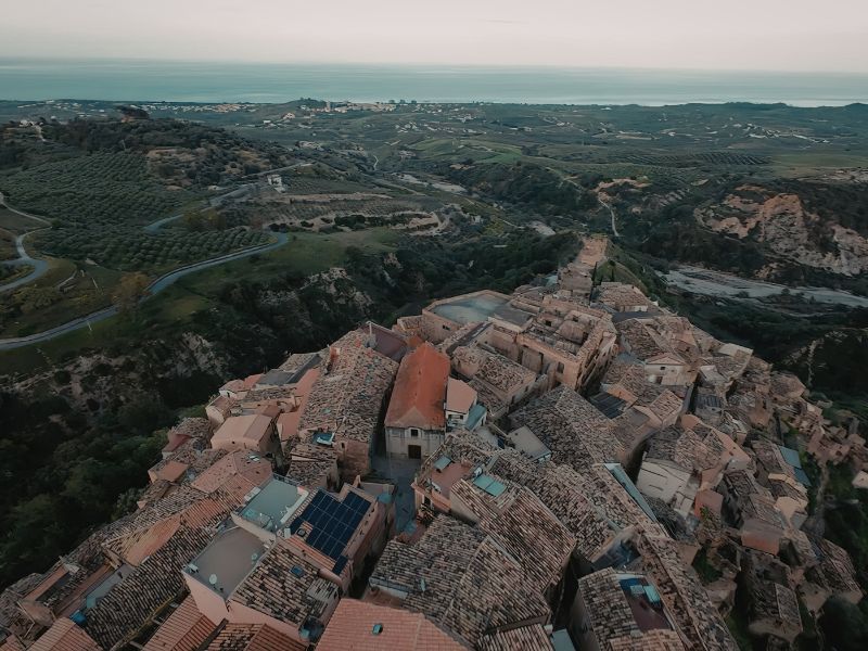
Standing in the middle of a dense forest can confuse your sense of direction and hide the true nature of the space. Thick patches of briars and low hanging branches conceal unique ground features that define the property. To get a real sense of your acreage, you have to look past the plants and focus on the raw soil conditions. Rough sections or unique ground shapes often sit completely unnoticed just a few yards away from the main walking paths.
Laser scanning handles this challenge by using speed and light. The equipment sends out millions of tiny pulses that zip down from the sky, bouncing off anything they strike. A massive amount of these pulses bounce off the top leaves, but thousands find tiny openings between the twigs to hit the actual dirt. Special software then strips away the recorded tree layers, leaving a pristine view of the bare earth underneath.
Recreation Land and Large Acreage Present Unique Mapping Challenges
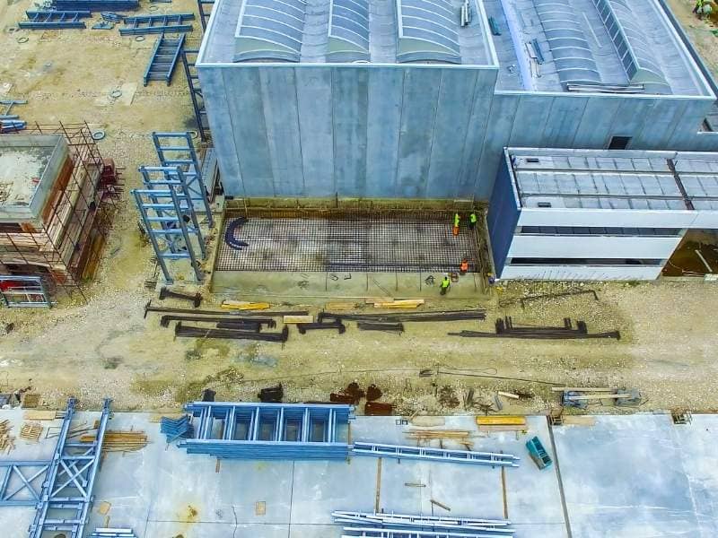
Taking care of large hunting grounds or a massive farm tract requires a completely different approach than managing a tiny neighborhood lot. These expansive outdoor spaces feature wild growth that makes walking the entire boundary line exhausting and dangerous. Standard cameras on airplanes do not help much because their photos only capture a flat wall of green leaves. Landowners need a reliable method to inspect their soil so they can make smart choices about logging or wildlife care.
- Tangled underbrush: Thick patches of weeds and thorn bushes that completely block human foot travel.
- Massive acreage: Hundreds of acres of wild land that take weeks to inspect fully by hand.
- Camera blockage: Regular aerial photos cannot see past the top layers of the forest.
Airborne laser tools solve this problem by capturing extensive areas during a single short flight. This process gives land managers a complete digital layout of their property without forcing them to hike through thick brush. You can quickly pinpoint where to place deer stands, establish wildlife clearings, or park heavy vehicles safely. This advanced view makes managing large tracts simple, efficient, and highly accurate.
Ravines, Old Roads, and Forgotten Features May Still Exist Under Dense Vegetation
Humans leave permanent marks on the earth, but the wilderness has a habit of swallowing those memories quickly. An acreage might contain a historic wagon trail or an old logging path that nobody has used for generations. Deep natural ravines, stone mounds, and old farming terraces hide under layers of ivy and fallen wood. Spotting these historical markers on foot is incredibly difficult because the growing forest hides them from sight.
When lasers scan the area, these hidden shapes pop out perfectly on the computer screen. The digital map clearly shows the straight lines of forgotten stone walls and the flat beds of old roads. Property owners can use this information to discover exactly how people traveled across the land a century ago. This knowledge helps you preserve neat historical spots or use the old paths as a guide for your own modern hiking trails.
Seasonal Changes Can Alter What Property Owners See From Ground Level
The actual appearance of a forest changes constantly as the calendar moves from spring to winter. During the warm summer months, thick green leaves create a dark maze where you can only see a few feet ahead. When winter arrives, the leaves drop to reveal the ground, but heavy snow or piles of dead branches can still block your view. Because of these shifts, the exact same hill can look completely different depending on the month you visit the property.
Relying on a simple visual check during one season can give you an inaccurate picture of your ground. A dip that looks shallow in December might turn out to be a deep hole when summer weeds grow over it. Laser maps remove this seasonal guesswork by delivering a constant, unyielding image of the surface. The technology ignores the changing state of the plants, giving you a steady view of the soil whether you scan in July or January.
Better Site Knowledge Helps Owners Make More Confident Decisions
Being a good steward of a large piece of property means looking out for its health over a long period. If you plan to harvest timber, you must know which slopes are safe for logging trucks to climb without rolling over. If you want to carve out a new path for ATVs, you need to avoid steep drops or soft, muddy ground. Working with poor information makes these decisions risky, which often leads to ruined equipment or ruined land.
Acquiring precise data allows you to make your management choices with absolute certainty. You can mark off sensitive conservation zones, pick safe paths for vehicles, and find the perfect level spot to build a small hunting cabin. This strategy ensures your projects match the natural shape of the earth instead of fighting against it. It keeps your woods healthy, beautiful, and safe for your family for many years to come.
Frequently Asked Questions
Why is LiDAR mapping useful for wooded properties?
LiDAR mapping helps provide detailed information about land conditions that are difficult to observe beneath heavy tree cover.
Can LiDAR mapping be used on large acreage?
Yes. LiDAR mapping is commonly used to evaluate farms, recreational properties, and other large tracts of land.
What types of features can LiDAR mapping reveal?
LiDAR mapping can help identify terrain characteristics, natural depressions, old pathways, and other surface features that are not easily visible.
Does vegetation affect traditional observations of a property?
Yes. Trees, brush, and seasonal growth can limit visibility and make it harder to understand the land from ground level.
Who commonly uses LiDAR mapping services?
Landowners, developers, builders, engineers, and property investors often use LiDAR mapping to gain a better understanding of site conditions before making decisions.
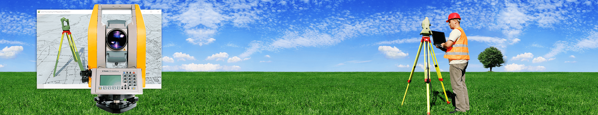
 Land Surveyors are professionals who make precise measurements to determine the size and boundaries of a piece of real estate. While this is a simplistic definition, boundary surveying is one of the most common types of surveying related to home and land owners. If you fall into the following categories, please click on the appropriate link for more information on that subject: